Precipitation refers to any deposition of moisture(liquid) to the ground. Precipitation beginning at high elevation includes rain, snow, sleet, hail while some Precipitation originating from ground level include dew, frost, rime, fog and mist.
Rainfall
Deposition of liquid from high up in the clouds.Types of Rainfall include:
Orographic/relief
This occurs when moisture (air) originating mostly from the ocean encounters a barrier such as a mountain causing it to rise, cool, expand and condenses. This generates heavy rainfalls on the windward side of the mountain e.g the windward side of Inyangani mts experiences high Rainfall in Zimbabwe due to moisture from the Indian ocean. The leeward side is dry because air is descending and compressing. This is another factor causing deserts e.g Atacama in S America and The Great Basin in west USA caused by the Sierra Nevada mountains blocking off moisture from the Pacific Ocean.

Convection
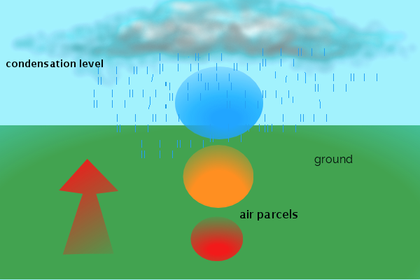
Heated air parcels by the ground becomes buoyant and light therefore start rising. The air parcel is warmer than the surrounding air therefore it is unstable and continues to rise, producing towering cumulonimbus clouds.

Frontal
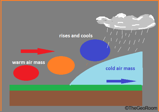
When two air masses meet (cold and warm) one is forced aloft causing it to cool and expand generating heavy rainfalls and thunderstorms.NB: cloud type and rainfall differ depending on the type of front (See Fronts)

Convergence/ Lifting
Another type of rainfall whereby two bodies of air usually originating from the sea rises together on a low pressure area over land where friction reduces speed. A good example is the ITCZ where North east and South west trade winds meet on a low pressure belt. Lifting or convergence on warm waters can give birth to tropical storms

Snow
Snow forms by a process of aggregation whereby slicky ice crystals with their liquid coating stick with solid ice crystals forming hexagonal snowflakes. Snow is a form of theBergeron Findeisen but instead of the snowflakes melting they remain solid given that low level temperatures are also low.
Hail
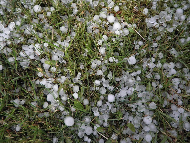
Hail is formed by a process of accretion in a high updraught cloud(cumulonimbus) with high convectional currents. For hail to form water droplets are carried high up in the cloud where they freeze, they are then sent downwards where water droplets freeze on the ice. The cycle continues until the ball of ice is big enough to be dropped as hail. Layers of ice can be seen when a hail ball is peeled off. Hail balls are usually 4mm-6mm in diameter, but some hail can be as large as 50cm which can kill humans, animals or plants.

Sleet
Snowflakes may encounter high temperatures at lower levels as they fall resulting in their partial melting, thus the sleet will be a mixture of snow and rain.
